
AI-powered chatbot enables one-click access to geographical information; over 190 GIS data layers and 35 technology-based tools integrated to support development planning
TFP Bureau, Raipur, November 4, 2026: Chhattisgarh is strengthening the use of geospatial technology and artificial intelligence in governance, with a state-level Geo-Portal and Decision Support System (DSS) being developed to improve development planning, resource management and administrative decision-making.
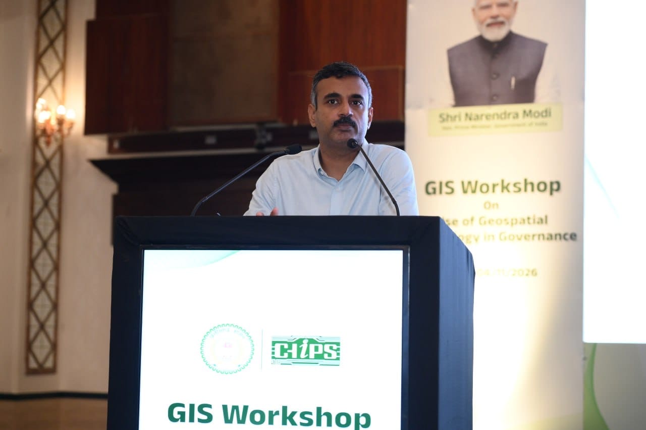
The initiative was highlighted at a one-day workshop on “Use of Geospatial Technology in Governance”, organised by the Chhattisgarh Infotech Promotion Society (CHiPS) at a hotel in Naya Raipur. More than 200 officials and subject experts from various state departments and districts participated in the event, which focused on the practical application of GIS-based tools in government programmes.
Inaugurating the workshop, Secretary of the Department of Electronics and Information Technology Ankit Anand said CHiPS had integrated more than 190 GIS data layers for the state and developed over 35 GIS-based tools and department-specific solutions. These resources are intended to help government agencies analyse geographical data, assess available resources and design development programmes according to local requirements.
He said the workshop aimed to familiarise officials with the state-level Geo-Portal and Decision Support System and encourage the use of district-level geographical information in identifying development needs and setting priorities. Usernames and passwords have already been provided to all districts to facilitate access to the portal.
A key feature introduced at the workshop was an artificial intelligence-powered chatbot integrated into the Geo-Portal. Users can enter the name of a region, location, asset or site to access its geographical information without navigating through multiple menus or extensive lists. The portal automatically directs the map to the selected location and displays relevant geographical details and guidance.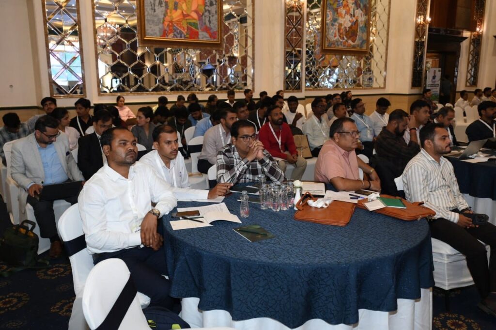
Explaining the practical applications of the system, CHiPS Chief Executive Officer Mayank Agrawal said GIS-based solutions were already being used by different departments for planning and decision-making.
The Chhattisgarh State Industrial Development Corporation (CSIDC), for instance, is using land-patch analysis to identify and assess suitable locations for industrial development. The tool is expected to make the selection of industrial land more systematic through digital analysis of available plots.
Similarly, the Directorate of Institutional Finance is using bank-coverage analysis to identify areas with inadequate banking facilities and assess suitable locations for new bank branches. The technology could also support financial inclusion, resource management and the expansion of public amenities.
Experts from Esri India and Octave India delivered presentations on emerging GIS applications and modern geospatial solutions, highlighting their potential integration into government planning and administrative processes. Officials and technical experts also discussed ways to align GIS-based tools with the operational requirements of different departments.
Among those present were Prashant Joshi, Vice-President, Esri India; Piyush Mishra, Head, EIC, Esri India; Vivek Chauhan and Chanchal Mukherjee of Octave India; CHiPS Joint CEO Anupam Ashish Toppo; and project heads Sandeep Tikriha and Harish Sinha.
The initiative is aimed at strengthening data-driven governance at both state and district levels. By combining GIS data, AI-based access and decision-support tools, the government expects departments to identify local priorities more accurately, use resources efficiently and improve the planning and implementation of development schemes.


